Sunday June 21, 2015 Previous Post Link:
Big Meadows Campground Thirteen Thousand Steps on the Appalachian Trail
Shenandoah National Park, Virginia
Remember that roof top tent camper from yesterday?
Well here’s what was going on when we headed out the door for a hike this morning. First we see the feet. They emerged fully dressed so I guess you have to get dressed sitting down or very hunched over.
Interesting to watch them fold it up and put it away.
I’ve been looking all through the hiking material I have on this area for an “easy” hike. Boy are the definitions of “easy” strange. In some books it means short even if it’s straight up. What I wanted was level. Yeah – right, in the mountains.
I have one book that shows the altitude changes in a map for each trail. The Pocosin Cabin/Mission Trail looked like it only changed about 500’ so we went down to the unmarked fire road and pulled into the empty parking area. David was along so we were not out early. :-)
The fire road is the old road into the hollow where the Episcopal Mission was located at the crossroads of the South River road. As we start down the road which is only fairly overgrown at this point, I notice a queen anne’s lace looking flower towering over my head. The leaves show it is not queen anne’s lace and I’m not sure what it is but boy is it tall.
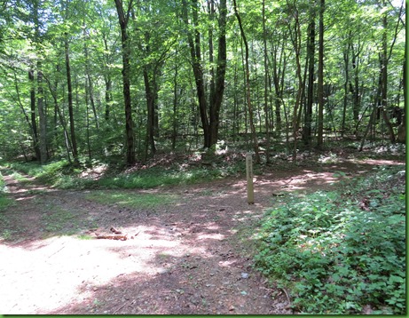
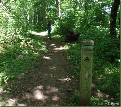
The Appalachian Trail soon crosses the road. It’s true that nearly every trail is crossed by the AT.
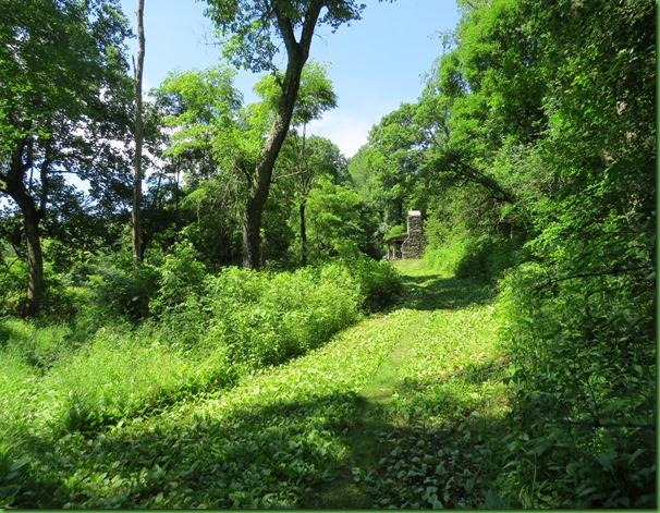
We soon see the Pocosin Cabin off to the right. It appears as though the AT crosses right behind it. I head up to take a look and see if anyone has it rented.
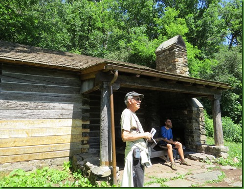
What I find is an AT Thru Hiker looking over his guide and having lunch.
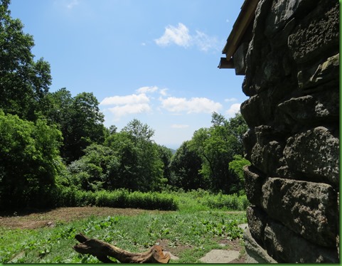
The cabin has a really lovely view.
I didn’t know much about the cabin other than the Potomac Appalachian Trail Club (PATC) now owns it and rents it out. when I see it, it is clear that it was never a mountain family’s cabin. The fireplace is outside. I later look at the PATC Cabin book and find that this cabin was built in the 30’s by the CCC. That explains the great stone work.
David takes a slow walk up the drive to the cabin. Although if you rent it you may not drive up here. You must park where we did and pack your things in. Still it would be a sweet place for a week-end. It is one of the most easily accessed cabins in the park.
After a last look at the view which is being closed in by the foliage, we head down to look at the cabin’s spring.
Seems to me you could grow a mighty nice garden right there in front of the cabin.
At the spring, we find another thru hiker filtering his water. They are the only 2 people we see and it’s a week-end. Score one for me for finding a trail no one else knows about or isn’t interested in.
We head back down the drive and continue on the road where we pass in front of the cabin’s view.
This cloudless sulphur butterfly looks stunning on the red clover. This cloudless is much brighter yellow with fewer patterns than others I’ve seen.
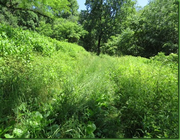
The road is becoming more over grown. It’s barely a two track now.
Soon it’s just a trail. No more horses and wagons or trucks use it I guess.
We stop for a while to get some photographs of this Great Spangled Fritillary.
The trail continues to descend and more steeply. There is definitely more than a 500’ descent on this road. We think it not wise for David to continue since he’ll have to hike it back up. So I go on alone to the crossroads where the mission and the home of its minister were located prior to the park’s creation and the people’s displacement.
At this point it looks like a fine crossroads again but whoever came down that Pocosin road to its intersection with the South River road would have a steep drive back up. Several families lived in this hollow but whatever remains to tell their stories is hidden in the underbrush away from view.
If David weren’t waiting, I’d continue on the South River Road in one direction or the other to see where it goes.
I can barely see the ruins through the trees. I walk over to the site and find the Mission Steps and one corner of the building. I can’t find any information on what happened to this stone building and am very curious why it would be nearly gone when the frame house is still decaying.
Who took all the stones from this building?
This corner is just to the left of the steps.
Of course there are always big trees to hug.
I walk around the old house where there are lots of pieces of things that people have discovered and left. Mostly rusted metal. It is a federal crime to remove anything from Shenandoah National Park, no matter how much you may think it is just junk. They consider them artifacts of the lives lived here.
David had walked down some of the road thinking it might level off. When it didn’t he turned around to slowly walk back while I continued on. I don’t want to keep him waiting so it’s time to head back to the crossroads and up the hill.
I find it interesting that the part of the road by the Skyline Drive was well defined and the part down here by the Mission is as well. But the part in the middle is completely over grown.
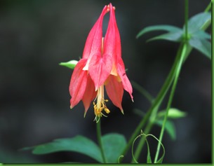
Wild Columbine is still in evidence.
I catch up with David and he tells me he found a wild cherry tree because he was looking so closely at the ground watching his step that when he saw the cherries on the ground he looked up and high up where he couldn’t reach them he saw the cherries. And just then one fell out on the ground at his feet. So he tried it out. Tart he reports.
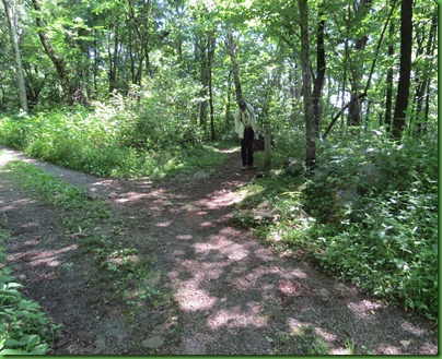
We walk together back up the road and when we get to the Appalachian Trail I suggest we walk just a little way down it to see where it runs behind the cabin. We find the cabin and return back to the road.
David suggests I might want to walk the AT up to the Lewis Mountain Campground where he could come and pick me up.
I say I hate to have him wait for me but he says he’ll just listen to Garrison Keillor and perhaps take a nap. So I’m off for another piece of the AT. I wave good-bye as I set off down the trail.
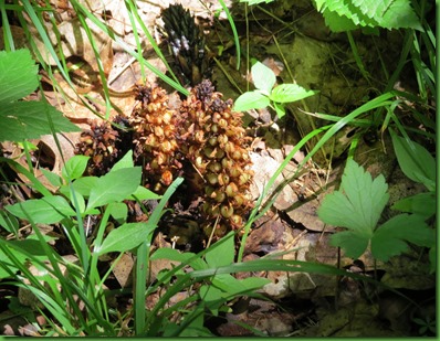
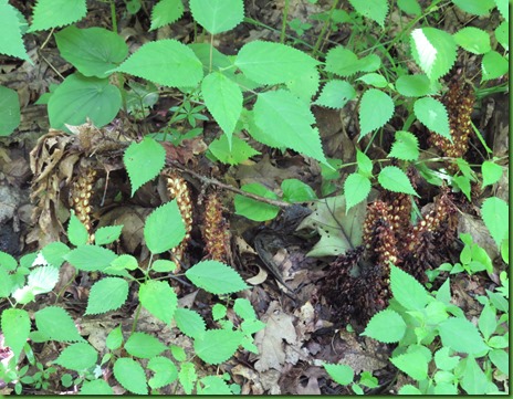
Lots of oaks and squaw root line the trail as well as more interesting fungi.
Another thru hiker passes me on the trail. He’s doing 23 miles today and is almost finished.
I’m surprised to see trillium leaves and blooms that look as though I just missed them. I thought the trillium was long past. It’s a spring ephemeral.
This tree was one of the most fun things on this section of the trail.
What’s it look like to you?
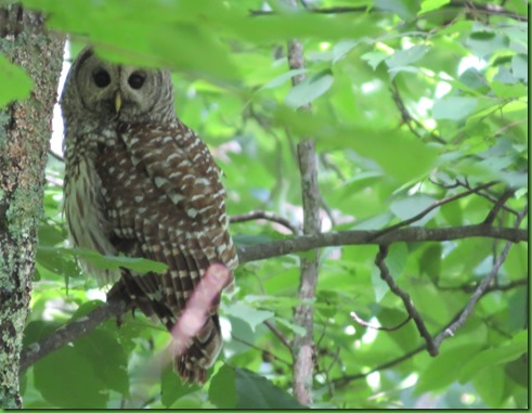
I am so enjoying the sounds of the birds singing that when I come to this section of the trail and they are all a twitter in their warning and scolding calls I stop to look around and see what they are worried about. At first I don’t see anything but I keep looking and then I spot him.
He’s back in the forest away from me and I only get one picture before he silently and I mean absolutely not any noise at all, lifts himself off the branch and glides away. I’m thrilled.
I spy this little red fellow on the ground before walking on. The bird warnings lessen but they don’t go away.
I stop and look again. I spy him again. Isn’t he magnificent???
And then off he goes again and I too go on my way. Soon the trail comes right up to the Skyline Drive. I can hear the cars before I get there. Not a steady stream of traffic but when they come, you can hear it clearly. It’s not like being deep in the forest anymore. These are my least favorite spots on the trail but I know for those hiking the whole thing these highway intersections are greatly anticipated reconnections with food, a bed and a shower.
In the 1930’s, the AT had to be moved in sections off the crest of the mountains through the park to make way for the drive and that is one of the reasons they run parallel to each other and sometimes closely. Walkers have played second fiddle to cars for a long time.
It isn’t too much longer before I see another cement trail marker ahead and am sure it must be the campground.
Sure enough I turn down to find David and Ruby at the bottom. We’re taking pictures of each other. I think I get him first.
It was a lovely afternoon of hikes.
Our only companions were each other and 3 AT hikers.
Thanks to David for suggesting that I walk this piece.


