August 21 & 22, 2017 Monday & Tuesday Most Recent Posts:
Schoodic Woods Campground Schoodic Institute, Lobstah and the Heath
Acadia National Park Schoodic Peninsula Acadia National Park
Winter Harbor, Maine
Today, David has a cardiology appointment so I was on my own. First thing Itake the bus down to the point to see how things are looking 2 full days after the storm that made such great waves against the rocks. Very different is how it’s looking. Clear blue sky day with calm seas.
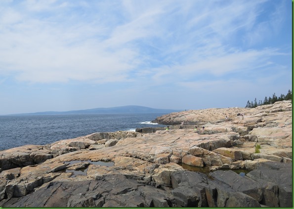

Looks like a lovely day for sailing.


Those of you who got to enjoy the August Solar Eclipse from within the totality zone were the envy of everyone here in Acadia where the skies didn’t even get gray let alone dark.
The park had a “Solar Eclipse Party” from 1 to 4. Sounded like fun so that’s how I spent my afternoon. We gathered on the patio outside the beautiful Ranger’s Station.

The park provided about 20 of the government approved eclipse glasses for people to use. A few people had brought their own viewers.
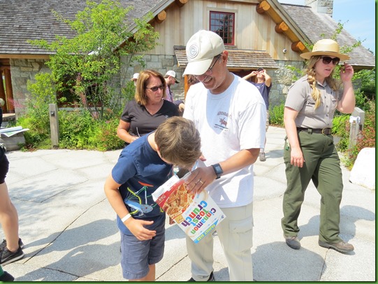

I had a great time watching the people watching the eclipse.


This man was trying to take a picture of the eclipse through the glasses. Don’t think I’d have tried that personally.

I took a few looks through the glasses but mostly watched the sunspotter the ranger had set up


The ranger had all the planets with her today to explain how the moon passes between the sun and the earth.

She set the sun in its path and then had the Earth and the moon move in their patterns. Pretty neat. Both the Earth and the moon did a very fine job in the demonstration.


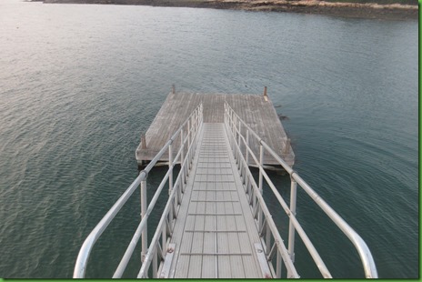
On one side of the point there is a nice long dock.

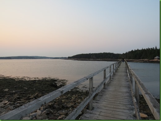
I assume we could launch our kayaks from here at the bottom of the ramp leading down from the dock.
We think this is the point of the point.

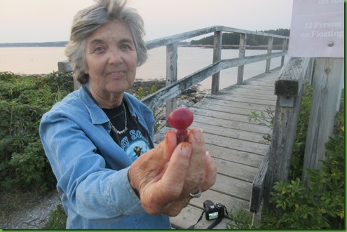
Rosa Regosa grows all over Acadia and I was happy to see that here there were some that were actually ripe enough to eat. Watch out though, they are chocked full of Vitamin C and if you get mouth sores from eating too many oranges in a row you’ll have serious trouble if you eat more than 2 or 3 of these regardless of their size and “meat” content..


With rose hips, bright red is not ripe and will be way too tart, at least for me. You need a burgandy color, deep, just before rot sets in. There isn’t much pulp inside but tons of seeds that you could eat but I usually discard getting my fingers orange. After discarding the seeds, I eat the skin and the flesh beneath it. David thinks hips are “ok” but I really like them. I once lived in Newport Rhode Island on the Cliff Walk which was lined with them and I learned to eat them and love them there.

David walks down to the end of the dock. I’m too busy eating hips.

The main reason we came here was to see the sun set and we do. Not over water because of Frazier Point’s location but it’s still lovely.


We’re not the only ones headed home after a fine sunset.

TUESDAY
On Tuesday we hike the Lower Harbor Trail. It’s a winding 1.5 mile path that starts at the park’s main road just at the end of the drive into the campground. It travels downhill to the water from there. At the end, we can turn around and go back the way we came or cross the Park Loop Road and take an unnamed spur trail over to a section of the Schoodic bike trail which will return us to the campground.
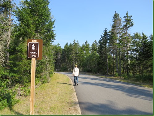

Raindeer moss lines the sides of the trail in the beginning of the hike.


It’s only flat for a short time and then starts heading down to the water through the maritime forest of red spruce and balsam fir. Boy does it smell wonderful.

The trail runs along an arm of Winter Harbor for much of its length, first above it and then beside it.


There are a few points along Lower Harbor Trail where we can access the shore on rocky beaches. We try to tread carefully and not disturb the delicate mosses and other low-lying vegetation.


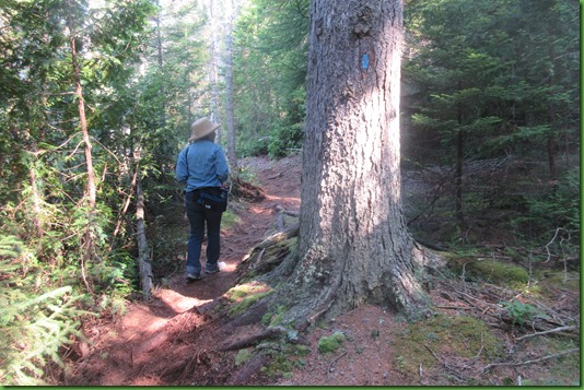
Lower Harbor Trail includes narrow bog bridges, small hills, some steep areas, exposed tree roots and rocky areas.

In one of the boggy areas, we find the Friends working on a bridge project. They tell David he’s welcome to join them.

Temporary bog bridge. Works fine as far as I can tell. Seems adequate to the task.

On the way back up we find the one lone bench for tired hikers but it has a problem. Looks great once you pass it and look back.
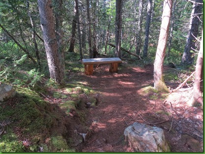
But on the approach it’s clear it might be tricky for resting on. It’s not my slanted camera, the trees are straight, the bench isn’t. Wonder if the guys down trail have seen this?

Once we get to the park loop road, rather than turn around and hike back, we cross the road to this marker and proceed up the unnamed trail to the bike path.

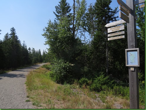
Luckily only one of these signs points toward Schoodic Woods campground AND they wisely have a map underneath.

The bike path is mostly uphill. From what we’ve seen of the bike paths here in Schoodic, they are at least as steep as those on MDI and are gravel rather than paved. They could be done by a road bike but I think mountain bikers would find them more fun. This one takes us where we want to go but retracing our steps would have been more scenic I think. Although perhaps that’s just because I love water. It’s 3 miles total which ever way you do it.
Because of the naturally hilly, rocky and root-filled terrain along the coast, Lower Harbor Trail is described as moderately challenging. We found it an excellent hike and no more difficult than the Sundew Trail we hiked yesterday. Both definitely require hiking boots.
