Sunday July 22, 2018 Most Recent Posts:
Great Smoky Mountains National Park Saturday Morning in Cades Cove
Tennessee GSMNP: Middle Prong Trail and Falls
It’s been two days now since I’ve hiked to a waterfall so it’s time to get back on the trail. I’m going to the Porter’s Creek Trailhead which is only about 24 miles away but takes nearly an hour to get to around these mountains. Not to mention the last 4 miles on a gravel road in the Greenbrier section of the park..

The ridges around Greenbrier are among the highest in the Smokies and include Guyot and Mt. Le Conte. This area was once a thriving community with 3 general stores, 2 churches, a school, 3 blacksmiths shops and 5 grist mills.. It was an isolated community of subsistance farmers and one room log cabins until the early 20th century.
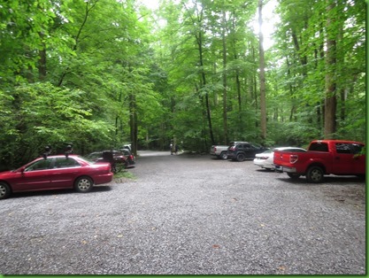
It’s about 7:30 when I arrive and only one other car is in the lot. SCORE!
The trail starts off as a gravel road running along side the lovely Porter’s Creek with wonderful scenic water views.
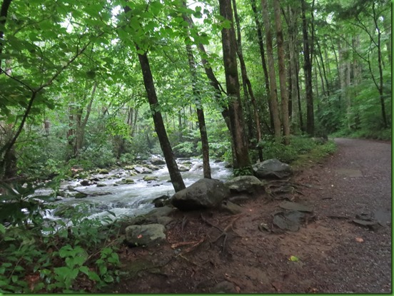
If you are a long time follower then you know I am a water lover but even if you’ve only been reading for a short time you’ll have figured out that one thing I really love about the Appalachian Mountains and the Great Smokies in particular is the amount of water everywhere.


The steep sided mountain ridges are separated by deep valleys which allow the springs on the ridges to flow down as they branch and divide creating these numerous beautiful mountain streams. In its 520,427 acres, split nearly evenly between the states of North Carolina and Tennessee, that is a lot of rivers, streams and luckily for me, cascades and waterfalls.

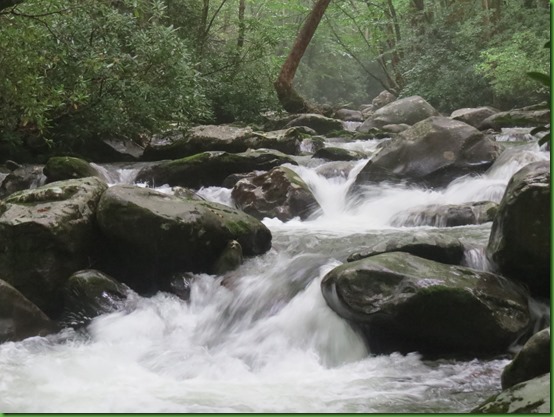
The water is really moving today. Beautiful and exciting too.
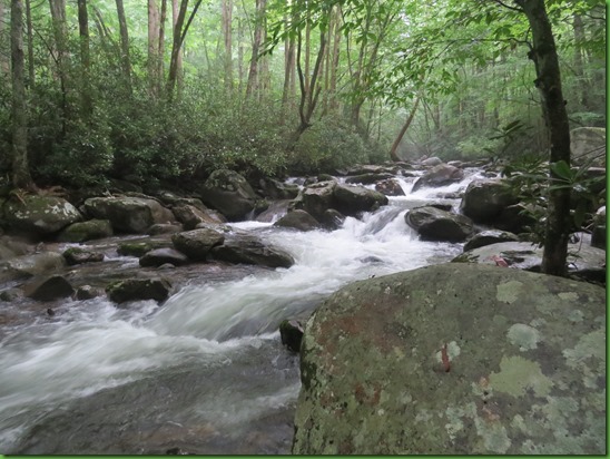
For those who like hearing the water’s music as much as I do, here’s a video.
The first mile of the trail rambles through a lush forest.

On the right I find a set of steps that lead to the Ownby Cemetery dating to the turn of the 20th century. The Ownbys were the second settlers in the Greenbrier area after the Whaleys in the early 1800’s. In the early 20th century there were 26 homes in the Greenbrier area, 11 were Whaleys and 10 were Ownbys.
.
As in most of the mountain cemeteries, many of the graves are marked only by field stones. I love that the graves are still decorated by descendents.

But some have named markers and in at least two, those named markers have been updated.
The original stone for Joel 1836-1909 and Elizabeth Ownby 1849-1904 had a new larger in groundn marker erected by the family in 1981. It makes me wonder how many of us live near enough to our loved ones’ graves to visit and update their memorials.

Too many of the stones appear to be children.


I find one very old but readable stone which has no dates but seems to indicate that David Proffitt was a member of company E of the 2nd Tennessee. In this area, which had many Union sympathizers I’m not sure which side he fought for nor what the last 3 letters signify.
.

I cross a one log bridge as the trail climbs up above Porter’s Creek to a fork in the road.


Both sides of the fork run into each other in a turn around. An old farm road goes off to the right and the road turns into a real trail on the left.

I head up the farm road. It is covered with mud and water from the recent rains.

Although the sign labels this “John Messer Farn barn built about 1875”, other history information says that the barn was built by Pinkney Whaley a descendent of the first family to settle in the Greenbrier area. Apparently whaley sold the farm to John Messer. This great example of a cantilever bar is the oldest original building left from the Greenbrier community.

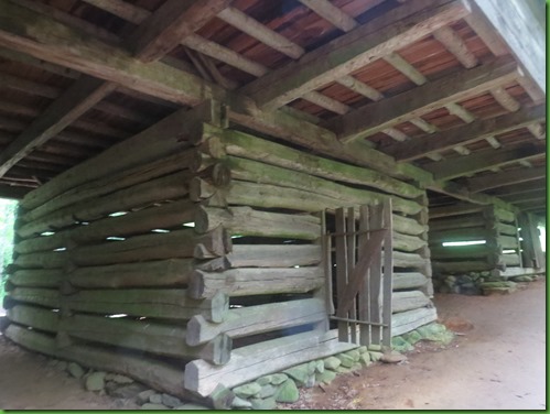
After I inspect this great barn I start looking around for the farmhouse. I don’t find any evidence of it but I do find a rock wall and when I follow that, behind the barn is a spring house and a cabin.

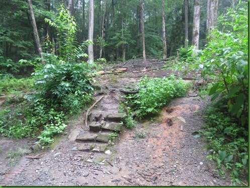
This is more a trail to the cabin than a raod.

I’m not sure who built this spring house. Its construction looks more like the barn than the cabin beyond it. I later am able to confirm that the spring house was part of the farm and that several cabins built by the Whaley family were also on the site.

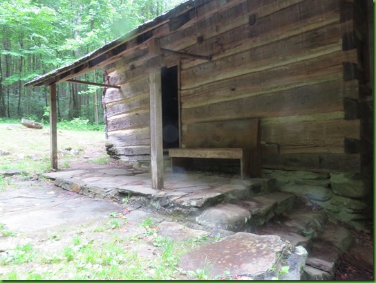
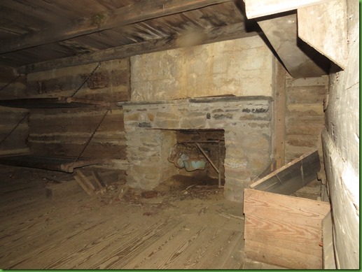
The cabin was built in 1933-34 by the Smoky Mountain Hiking Club. This sort of surprises me since the people who lived here in the park area were being forced from their homes at this same time. There are a lot of things about who got to stay and who had to go about this park that I find disconcerting. According to the hiking club website they tore down two of the Whaley cabins and used the materials to build around one of the chimneys. The club was allowed to overnight in the cabins until 1981.
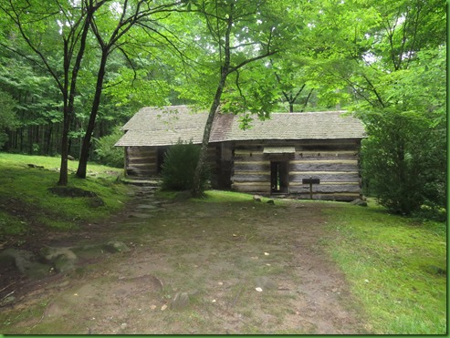
It is so dark inside the cabins that I’m forced to use my flash for this pictures which shsow the wood to be much lighter than it actually was. Those are two sleeping bunks on the wall.

The sign says you may not over night here but its pretty clear to me that there are folks who do especially in the 2nd cabin.

Here’s one picture without the flash that when lightened gives a better idea of the actual color of the cabins.


I leave the top cabin and step down to the lower one. They are not connected inside.
The path leading out the back of the cabins goes to the privy also constructed, I assume, by the club.


Notice the two antique mill stones in the yard.

Nice view of the spring house and the barn from the cabin front porch.

Better view of two of the three mill stones and of steps that I assume once went to one of the two originalcabins and now go to nowhere.

. As I walk away from the hiking cabin toward the barn and back to the road and Porter’s Creek Trall,, I can’t help but think of the plight of the mountain people and the things they worked so hard to create.

At this point the road ends and becomes a “real” trial turning from gravel to rooty and then rocky as it continues to climb.


Love these dark Rhododendron tunnels.

At the end of this one is a great single log bridge. Well not exactly single log. It’s like a surprise in the light at the end of the tunnel.

It’s a single log bridge all right but several single logs and luckily hand rails on both sides.

It goes across the creek and around the corner.
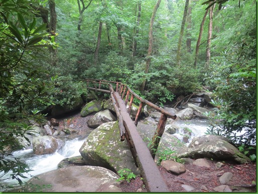
There would definitely be no crossing this creek without it. At least not for me as I see the water rushing under me.

For those who’d like to get a closer look at what it’s like to cross this bridge, take a look at this.

On the other side, I’m still climbing.

The trail is still rocky. The trees are bigger.

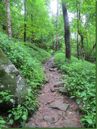
As the trail continues to narrow I wonder if I’ve somehow missed the falls. I’ve been told they are not marked and concealed by heavy brush in summer. But how could I miss the sound?

When I spot Fern Branch Falls high on the hill to my left, I see what they mean. I’ve read that the falls is 40’ and I’ve read that it is 60’. I need a better view. Even with my zoom, It seems very distant with a bolder field between me and the base pool assuming there is one.

It would be easier to get closer when all the folliage obscuring the giant bolders is gone. Hard to see where you might put your feet in July.

I find a “sort of” way up the right side of the falls and see that the falls slide down nearly verticle rock faces. Maybe one is 40 and one is 60. I’m a terrible judge of height and distance. Notice the very top of the falls in this picture.

I climb up on the rocks through the green far enough to get this picture of the top of the falls. I assume there is a pool there before it begins sliding over the first rock face. But I don’t go high enough to confirm that.

But I do see the pool at the bottom of the slide. Beautiful!!

I’m part way back down when I take this picture of where I’m trying to go. I find it easier to climb up than to go down.

From that same spot I’m able to take this shot of the second slide.

And now I’m back on the Porter’s Creek Trail with this no zoom look up at the falls. If you really want to see it takes some serious exertion. You really have to climb.

Here’s a video of the Fern Branch Falls that I took part way up my climb when I thought that was as high as I was going.
Happy with my find, I follow the creek back down.


A few more pictures of this amazing bridge from the other direction.

They are so much fun being right above the powerful water with everything so wide open and yet I feel very safe. I wonder how Bill would feel about this.

Yes, it’s a pretty narrow log.

Back to some safer and smaller sights.
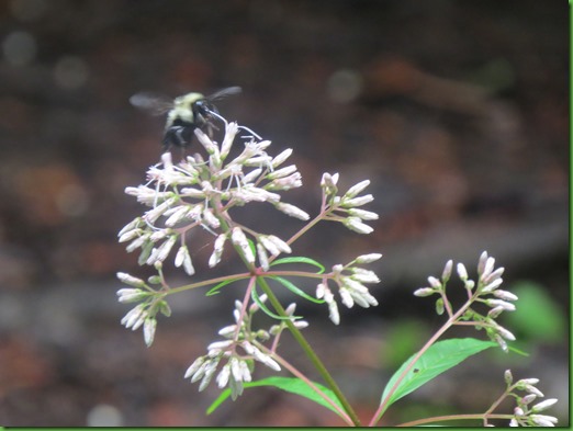
The fungi for the day. Dinner plate size.

My last look at Porter’s Creek. I would definitely do this hike again especially in the spring as I understand it is one of the premier wildflower hikes. But that also means many more people than I saw today. My total was 4.

When I get back to the parking lot I wonder how I missed all these folks but I’m glad I did. Another great hike in the Great Smoky Mountains National Park. Totals for the day 7.28 miles and 19225 steps.