Go confidently in the direction of your dreams. Live the life you have imagined.

Henry David Thoreau

Laurel Prong

Saturday May 26 & Sunday May 27, 2018                                            Most Recent Posts:
Lewis Mountain Campground                                                                 Summer Solstice
Shenandoah National park                                                                    Dark Hollow and Rose River Falls


IMG_3995

I’ve had going to the Rapidan Camp, President Hoover’s Summer White House, in my plans since I returned to Shenandoah.  Ideally I like to do the loop taking the trail from Milham Gap to the camp and then back up the Laurel Prong Trail.  That’s an 8 mile loop.  With the rain problems it keeps getting put off for shorter hikes that will fit in the no rain window for the day.

Today also has one of those windows but I think I’ll head down the Laurel Prong to the camp and just come back the same way and maybe I can make it.  That will only be 6.4 miles

Like many other trails, this one leads off of the AT. 


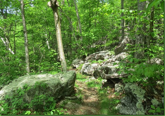
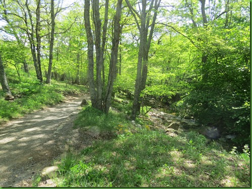
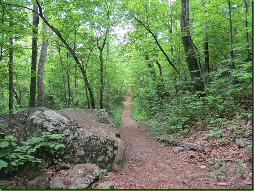
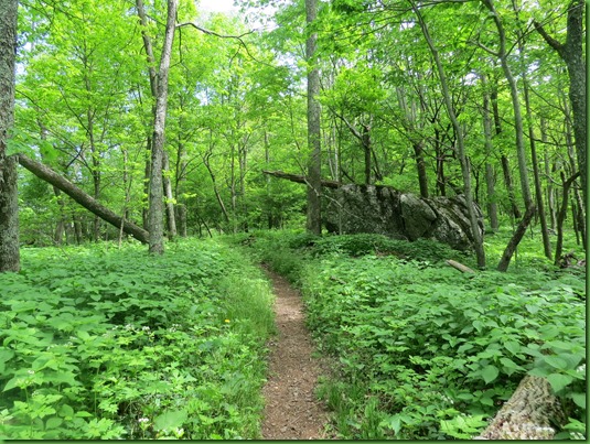
The AT at this section is  beautifully and unusually flat.  The rains have made everything very lush and green and narrowed the paths.  People better keep hiking or nature will just grow right over them.
IMG_3996


Lots of False Solomon’s Seal on the trail

IMG_3999


IMG_4000


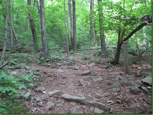
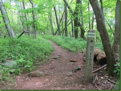
I reach the cement marker for the Laurel Prong Trail turnoff and down I go.


IMG_4008


IMG_4009


A few views east along the way looking out toward the Southwest Mountains.  Of course that would be southwest from Washington DC not from here.

IMG_4010


They sure are blue and even smoky. 

IMG_4011


Probably some of the last Wild Azalea of the season.  It stands out beautifully against the dark rock.


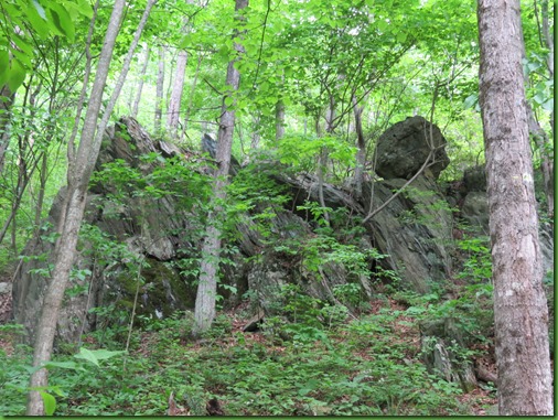
One of the main features in Shenandoah is its rocks, on the trail, beside the trail, towering over the trail, jutting into the trail.


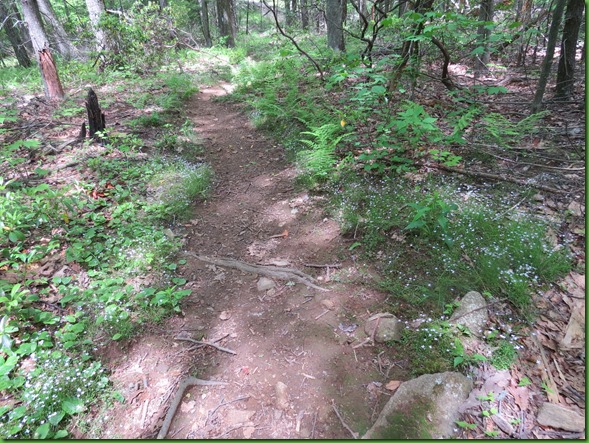
Groups of sweet little Bluets line the path.  The first picture gives a better idea of how small they are and how abundant.

IMG_4047


Oh boy, blackberries in the future.  Wonder where the ones in my Solstice pancakes came from?


That’s what’s always wonderful about the park, some things are finishing up as others are just getting started.  Amazing planet Earth.

IMG_4022


I forget how pretty the blackberry flowers are.

IMG_4024


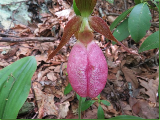
A bit further on, lucky me, one of what is probably the last of the pink trillium for this year.

IMG_4031


IMG_4032


I reach the cement marker indicating two miles to go. If the rain is on time, I might just make it and back.


A field of May Apple


IMG_4049


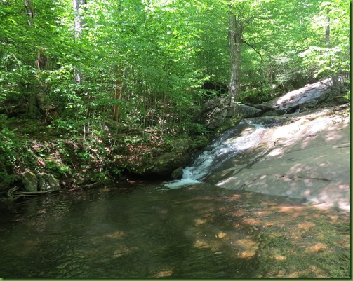
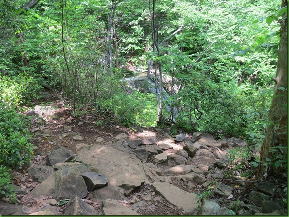
First stream crossing.  It’s so crystal clear it doesn’t show how deep it is.  Stepping rocks required

IMG_4051


IMG_4052


Any wildflower experts know if these are ramps?  There sure were a lot of them.

IMG_4057


IMG_4061


I’m looking at this new to me fungi when I hear the thunder.  I’m only about a mile away from Rapidan Camp.  I’m sure I can make it before the rain but that means over 3 miles back possibly in the rain.  What to do?  And what is this stuff?

IMG_4064


More thunder and the skies are darkening.  I decide to abandon my quest.  It’s up hill all the way and rocky so I don’t want to be climbing wet rock.  Very often, the prediction for showers doesn’t pan out and the rain comes a few hours later than predicted.  I was sort of counting on that today. But instead, the rain is early.  Better get up and out of here before the fog sets in and makes it more difficult.


IMG_4079


No more stopping for pictures but Lucky me – the fog sets in thickly as I’m almost to the car and I get back right before it pours but still without having gotten to Rapidan Camp.     Guess I’ll just have to try again another day.

IMG_4086


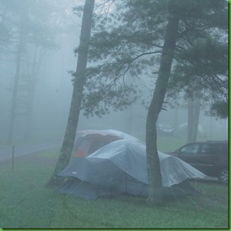
But it isn’t going to be the next day, Sunday.  Fog and rain all day long.  Sure feel sorry for the folks in the tents.

Summer Solstice

June 21, 2018                                                                            Previous Posts:
Lewis Mountain Campground                                                      Dark Hollow and Rose River Falls
Shenandoah National Park                                                         Lewis Mountain Top


CELEBRATE!!

solstice 1

Jumping ahead to this current day, I’m wishing you all a Joyful Summer Solstice.  It should be a holiday even if it isn’t officially but that doesn’t mean we shouldn’t CELEBRATE.

It’s the longest day of the year  so CELEBRATE our amazing planet EARTH!

And   

Remember that you’re standing on a planet that’s evolving
Revolving at 900 miles an hour

It’s orbiting at 19 miles a second, so its reckoned,
A sun that is the source of all our power.

The sun and you and me and all the stars that you can see
Are moving at a million miles a day
In an outer spiral arm at 40,000 miles an hour
In a galaxy they call the Milky Way
The Milky Way.

Our galaxy contains a hundred million stars
It’s a hundred thousand light-years side-to-side

It bulges in the middle 16,000 light-years thick
But out by us it’s just 3,000 light-years wide

We’re 30,000 light-years from galactic central-point
We go round every 200 million years
And this galaxy is only one of millions and billions
In this amazing and expanding universe
Expanding Universe.

The Universe itself keeps on expanding and expanding
In all of the directions it can whizzz

As fast as it can go, at the speed of light you know,
12 million miles a minute and that’s the fastest speed there is.

So remember when you’re feeling very small and insecure
How amazingly unlikely is your birth
And sink your roots deep into the galaxy,
Dance of life, Planet Earth.
Yes sink your roots deep into reality,
Dance your life for Planet Earth
.


If you’d like to listen to the song use this link to hear Deep Ecologist John Seed and Dana Lyons sing my favorite version

Solstice 6


Here’s how I was  hoping to celebrate!


I planned to watch the sun set over the mountains in the West tonight at 8:40 pm for the shortest night of the year but it was rained out in a huge way with a giant thunderstorm complete with Winnona shaking thunder and exciting lighting which try as I might, I could get no pictures of from under my awning. 

Then I thought I’d rise and shine WAY early and get to one of the few overlooks on the Skyline Drive facing east by 5:15am to get the wonderful colors before  5:50 when the sun would be doing its own rising and shining.  After the most of the night rain, I gave up on a hike to the top of Bearfence mountain at dawn as too slippery. 

I was up in time but this is what it looked like for the next hour.  Clearly the folks who came in yesterday had seen the weather forecast.  They are hunkered down and covered up.   The air is wet but it isn’t raining YET.


blackberry pancakes

I’d also planned to be at Big Meadows Lodge when it opens at 7:30am for my post sunrise breakfast of Blackberry Pancakes so I could get started on the main event of the day. That part worked out just fine.  The Blackberry pancakes were great.

At least it’s not going to be a blazing Solstice Day like most other places in the mid atlantic with temperatures well into the 90’s.  Although the constantly pending rain has made the humidity unbearable.

I saved a special hike for this day.  It’s a tough hike to my favorite waterfall.  Rain was predicted for 2pm but like nearly every day, it’s 5pm now and it didn’t show up. Thankfully.  Though I might have stayed longer at the falls had no rain been predicted.

I’m back from the Cave Waterfall Hike and I’m exhausted.  6.78 miles to the falls and back.  The return is all up hill, most of it steep and rocky.  But I’m again absolutely convinced that in spite of the rough trail and the impossible last 3/10th of a mile, it is my favorite place in Shenandoah and perfect for the Summer Solstice.

The hike and pictures will be reported in order.   I’m way too tired to put up what Cave Falls deserves.

I just want to honor this special day with a short post.
Hope in your comment you’ll let me know how you are celebrating this amazing Universe on Summer Solstice.

Solstice 3

Dark Hollow and Rose River Falls

Friday May 25, 2018                                                                       Most Recent Posts:
Lewis Mountain Campground
                                                           
Lewis Mountain Top
Shenandoah National Park                                                               More Wonder Headed North


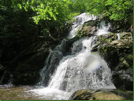
The Dark Hollow Falls Trail begins on the Skyline Drive near Big Meadows and follows Hogcamp Branch, on my right,  down hill.

IMG_3856


I prefer to hike my waterfalls coming up so I can enjoy all the cascades without having to turn around.  But that means I have to get to the bottom to come back up.  There are several ways to do that including just hiking Dark Hollow down and then back out.  Today I’ve decided to hike Dark Hollow down and the longer Rose River Falls Trail back up to Skyline Drive.


IMG_3858


The music of the branch is lovely and it is wonderful to have it so near that I can look over and see the cascades and little fallettes.   Can I make up a new word?

IMG_3859


There are several pools that would make for great swimming on a hot day.  Today is not one of those and this water is COLD.


I reach the top of the falls where I can see the Hogcamp Branch going over for the upper falls.

IMG_3866


Usually the falls are  not so full and I can walk out on the rocks in order to get a picture of the entire fall from very top where one big fall divides into two and then all the way down but it’s too deep, too strong and too slippery today.


IMG_3882


Here’s a different angle from below the pool so I can see the very top.


IMG_3888


This is a zoom of the very top.  LOTS of water coming over.

IMG_3885


There are more fallettes and at least one more pool before I reach the bottom of the Dark Hollow Trail and the lower falls.


IMG_3891


Some people turned around at the upper falls and hiked back up.  The ones who came all the way down either turn around or take the Rose River Fire Road back up to the Skyline Drive but they’ll be about 2 miles north of where they parked their cars.  OR they take the Rose River Falls trail up to that same spot which is what I’m doing today.


IMG_3892


I follow the Rose River up


It’s a rugged path and the wet areas are slippery.  In these situations, I’d much rather be climbing up than coming down.  At least I don’t slip as much going up.    This section goes down to the river, then walks along it, crosses over  and then climbs back up to the falls.  So there  is a bit of slipping going on here and fewer pictures.  See the trail, see the river way down there on the left.

IMG_3899


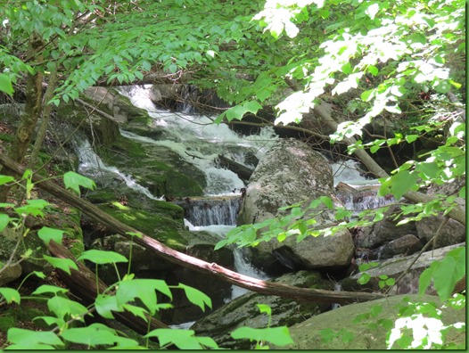
It’s just one  cascade after another.

IMG_3900


Wonderfully close to the trail eventually.

IMG_3901


IMG_3907


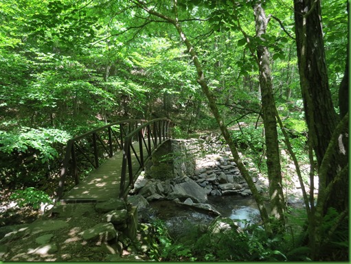
I can see ahead the very nice metal bridge to take hikers to the other side of the river.

IMG_3915


Is that picturesque or what?

IMG_3917


On the other side the climb is all up.


IMG_3918


IMG_3920


Many parks all over the country seem to have one of these perched on top rocks that people like to try to push off.  Here it can’t be a glacial erratic since the ice sheet stopped in Pennsylvania. So I have no idea how such a round rock came to be or got there.  Glad no one is trying to push it today or it would roll right over me.


IMG_3924


Zoomed in it looks like a composite.  Can you help me out Sue Malone?

IMG_3923


From the very rocky path I can see the falls in the distance.


IMG_3938


Better though blocked views the closer I get.  Clearly there is A LOT of water pouring down.

IMG_3941


I wander around taking pictures from every angle.  Can’t decide what I like best.  Straight on in the middle of the river would be nice.  HA!

IMG_3942


I find a place where it is possible to climb down onto the rocks beside the pool.

IMG_3943


Ok I’ve found the spot.  Despite the photo bombing branch, it’s a decent look at the Rose River Falls.

IMG_3947


Here’s the tricky trail I take to get up to the top.  All part of the Rose River Trail.  Don’t try this one in flip flops.


Standing on top I’m very happy that the park has decided not to put up barriers and rails.


IMG_3953


The Rose River flows down, picks up Hogspen Branch at the bottom of the falls trail, flows a total of 8.8 miles and out of the park where it joins up with the Robinson River and ultimately all 3 combined join the Rapidan River.

IMG_3954


Leaving the falls, I’m still walking up stream following the river which rises from a spring, I assume,  south of Hawksbill Mountain.

IMG_3975


IMG_3976


At this point I reach one of the wonderful cement markers that are unique to Shenandoah but should not be.  Every park should have these, their metal bands tell what’s in every direction.  They tell me I have 9/10ths of a mile to go to reach Skyline Drive. 


IMG_3980


It continues to be a steady though easier climb up for my last stretch but now the question becomes, when I reach the drive, then what?  Do I add 2 miles onto my hike by taking the AT back to Ruby.   Or can I hitch a ride with someone going back to Big Meadows.


IMG_3989


And the answer is that shortly after I reach the parking lot, a father and grown son pair, that I spoke to on the trail come out of the woods.  I say hello again and ask if they happen to be going to Big Meadows.  They are and would bbe happy to give me a ride to the Dark Hollow Falls parking on their way.   So I am happily chauffeured in a snazy BMW.    Wonderful ending to a fabulous waterfall day!!