Sunday July 30, 2017 Most Recent Posts:
Acadia National Park Loons and Electric Cars
Mount Desert Island, Maine Bridges and Berries
We’ve got a big day planned so we’re out early and it’s chilly when we start out. Boy do I love chilly in July especially when I look at the triple and near triple digit weather everywhere else.
We park at Jordan Pond House and head down to take the pond trail up the west side where we will pick up the Deer Brook Trail heading up to Penobscot Mountain Summit.
Of course I take the iconic picture of the Bubbles across Jordan Pond.

We find the Jordan Pond Trail connector and head up the west side right by the water.

The east side trail is fairly uniform and easy. The west side is quite varied and has some more difficult portions. We start out with a lovely pond side stroll.

We move onto boardwalk.

When I hear their calls, I begin to scan the water. The sun is sparkling brightly on the water when I find them.

I just love that nearly every time we are on or by the water I get pictures of the loons. They are the symbol of Acadia for me.

Trail crews are replacing a large section of the boardwalk along our way. They have made a temporary trail around while they do this. These crews are all volunteer. It’s wonderful how much people care about this park.

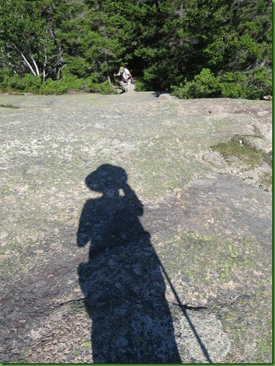
After the work area, we come to the rock area. I’m glad I have my hiking pole.

The rock section is a scramble and is almost in the water at points.

We cross the bridge over the inlet and head UP. .

It will be UP or DOWN for the rest of the day from here. As the trail head marker says, we’re turning onto the Deer Brook Trail headed for Penobscot Mountain Summit and then Sargent Mountain Summit.

It’s a rocky up hill climb to put it mildly.

We approach our first goal, the Deer Brook Bridge. It’s the only carriage road bridge with two arches.

The road passes over, we pass under.

Still as beautiful as it was in 1925 when it was built.


David makes it up the rocky slope for a picture.


The trail climbs up to the carriage road, across it, and heads on UP.

Now we have steps to climb.

Steps of all kinds to climb.


I’m glad when the steps are over. I find them tedious.

Back to rocks on which ever trail you are taking from this point.

I guess you could call these steps as well but they are the last ones before we hit the open rock face that signals we’re getting close.

We’ve been following the blue blazes. We’ll have Bates Cairns to follow soon.

The sun is at my back when I catch David coming out of the woods and onto the mountain’s raw rock face.
We’re headed up there to the tiny vertical at the very top to the left of the tree.

We’ve stepped into views all around us.

Penobscot Mountain Summit. One bridge and one summit down. 2 of each to go.

Someone has stolen the Penobscot Mountain Summit Sign. People really do irritate me with their attitudes. David’s glad to be here with or without the sign.

Fantastic views all around us as we head on to the Sargent Mountain Summit.

We’re headed over there. But of course you can’t just stroll on over. You have to hike down off of Penobscot so you can hike UP to Sargent.

So down and now up, through the rocks of course.

On our way down we pass the isolated Sargent Pond which claims to be the oldest lake in Maine. Not sure how they determine such things but the lake is fishless as it is one of only two acidic lakes in the park.

We’ve now joined the Sargent South Ridge Trail and are climbing back UP.

We’re still a ways off. Sargent is the 2nd highest peak in Acadia. The highest is Cadillac which is also the highest peak on the east coast of the U.S.

I really enjoy the South Ridge Trail and its wonderful views. When I zoom in, I find that we are overlooking Lower Hadlock Pond with its bridge and Pump House. A very different view from the one at water level.


At this point we are informed we have a half mile to go.

I’m amazed to find lillies along the path on top of this rock.


The last stretch before the summit and more fantastic views.

Here we are! Peak number 2.

We stay for a while enjoying the views and the cool breeze. Then it’s off to follow the Cairns to Cedar Swamp Mountain, our third summit.

Good thing for the cairns or we would never have seen the trail.

Of course it’s back down and then UP to Cedar Swamp.

At this point we have to go off of the Sargent South Trail in order to get to Cedar Swamp.

And here we are with the camera at the foot of the cap shooting up at us.

We’re 3 out of three for summits and now on a quest for the other two bridges.

From Cedar Swamp Mountain there are good views of Somes Sound off to the West.

I’m sorry we can’t go back and take the Sargent South Ridge Trail all the way down. I really did enjoy it. But, if we are to see the two bridges, from here we take the Amphitheater Trail. This turns out to be the toughest trail of the day even though it is down hill.

It’s rugged and more poorly marked than any we’ve done in Acadia. Feels like we’re trying to hike a rock slide.

This would be even more difficult if there were more water in the stream which the trail goes through and back and forth across many times.

There are several small pools and some residents.


We are mighty happy to see the Amphitheater Bridge even though it’s slightly less than half way down this ankle breaker trail.

The trail goes right through the bridge opening.


On we go, more rocky trail. One of the rare blue blazes on the Amphitheater trail. We actually did have to turn around to make sure we were still on the trail at several points since it seems to be better marked going the other way. Hmmmm does that mean we should have climbed it up rather than hike it down?


This time we really have made it all the way down the rugged Amphitheater Trail to Little Harbor Brook Bridge and the last of our six goals for the day.


We get to recover a bit on a short stretch of carriage trail that goes over the bridge.

It’s UP hill too.

Finally we reach our last trail. It’s now 1.2 miles to Jordon Pond on the Asticou & Jordan Pond Path.

After all we’ve done today, this trail seems like a piece of cake.


But, it’s still UP hill.

David climbs the last of the steps for today as he hikes up the last slope to Jordan Pond House.

We’re pretty glad to see it even from the back. We always wondered where this trail went.
Now we know it will take you to connect with several trails or all the way to Asticou Gardens if you like.

Folks are having lunch inside and outside under the umbrellas.


We pick a table inside and start out with their famous popovers with jam.

David has a bowl of their seafood chowder and declares that it is mostly potato and not much seafood. I order their lobster roll for comparison with others I’ve had and find it so-so. Pretty small for the price. Our assessment after having eaten here twice this summer is that it is over priced and underwhelming.

But it’s a pretty spot and a nice way to end a long day. We’ve done over 9 miles and over 22000 steps. I think it’s our biggest day yet for this summer!
