Sunday September 15, 2013
Site 40 Fishermen’s Memorial Recreation Area
Narragansett, Rhode Island
We aren’t finished at Cape Cod but our time is up.
We have lots more things to do and see here so we know we have to come back. It’s not good-bye but see you NEXT TIME.
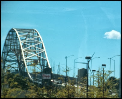
We leave Atlantic Oaks and cross the Sagamore Bridge built in 1933 to 35. Boy I sure hope this has been inspected recently. That makes it 80 years old this year.
Looks pretty imposing as we come around to it. The bridge carries Route 6, the road that goes from the bottom to the top of the Cape, across the Cape Cod Canal.
The Canal is another thing we did not get to see while on the cape. There is a bike path there which is on my list for NEXT TIME. This is a BIG canal. Sorry that the only picture I could get was out my side window with the screen I can’t talk David into removing. But you get the idea. Big and straight as only a human engineer would make it.
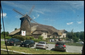
I see another Massachusetts wind mill as we head toward Rhode Island. This one is not exactly like those other ones we saw on the interstate as we came through Massachusetts to the cape. But it sure looks attractive and from a closer view, authentic. What do you think? A restaurant?
Our trip today is a perfect distance – 120 miles.
We wander down the southern coast of Massachusetts, past Newport to Narragansett Rhode Island.
We’re staying at Rhode Island’s most popular state park, Fishermen’s Memorial. We wouldn’t have stood a chance at a site here before labor day. And today we find the park at least 3/4ths full.
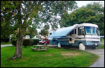
All the RV sites are pull throughs and are long enough we don’t have to remove the dolly. Points for the park for sure. There is a FHU loop but it is small and in high demand. The price for in state residents for W/E is $20 and for out of state $25.
We can see the park from quite a distance although we don’t realize it’s the park until we get there.
When we pull in to register, it looks like we are at a farm. Barn, silo and windmill. But this isn’t your farmer’s windmill. It’s a serious energy turner.
This park provides its own energy with its windmill. Wow Rhode Island what a great idea.
And this isn’t your farmer’s silo either.
The site of Fishermen’s Memorial Park was taken from a former World War II defense installation known as Fort Greene after the Rhode Island Revolutionary War hero Nathaniel Greene. Point Judith, on which the park is located, is one of the fingers of Rhode Island reaching out into the Atlantic.
During the war years of the 1940s it anchored the western passage into Narragansett Bay while projecting the observation for potential enemies out into the Atlantic. Narragansett Bay was considered by naval strategists of the first half of the 20th century as the best safe haven and rallying point for war ships of any place from Cape Cod to Cape Hatteras, rivaled only by Hampton Roads (Norfolk), Virginia.
To guard the entrances a series of coastal artillery defenses guarded the water approaches to significant ship yards, torpedo and Quonset Hut factories, test firing ranges, ammunition storage dumps, materiel staging areas, destroyer and aircraft carrier berths, and the Newport Naval Station and War College. Offshore electric warning systems intercepted potential submarine attack. Mine fields were installed, and nets were strung across the Bay entrances.
Fort Greene, at Point Judith was divided into three distinct “reservations,” East, West, and South. In the East Reservation, known as Battery Hamilton, a two-gun battery featuring 16” guns was installed in the year between September of 1940 and September of 1941. The shells fired from these guns weighed over a ton each; they could reach a distance out to sea of 26 miles. Paired with a matched set in Little Compton the arcs covered by these batteries overlapped, making the surface approach by enemy ships towards Narragansett Bay highly problematical. These guns were housed in concrete bunkers and covered by earth and appeared from the outside and from above as low coastal hills.
Sure looks like a farm to me, until you see all the RVs.
Within the bunkers were radio rooms and ammunition storage. A second battery was begun at the West Reservation of Fort Greene, now Fishermen’s Memorial, but was never completed. What was completed was a command post in an observation silo to assist in directing fire. The silo, still standing, and used as a park headquarters, was designed to look like a farm complex from the air. Just in case. We have however seen two unusual looking earth mounds in the park which must have bunkers inside. The park office has no information on this at all. I had to find it all on line.
In the above picture the campground check in guard is the little tiny hut on the far right in the middle of the road. The office is in “the farm house” behind the silo. The RV dump is right next to the barn on the left. Definitely looks like a farm from the air and it looked like that when we drove in today for the first time.
In the evening we head over to the FHU loop where one of the bunker hills has a stairway up to the top. The FHU loop is on the wetlands so we’re hoping for a great sunset. And we aren’t disappointed.
I love all the surprises we’ve found at Fishermen’s Memorial. Tomorrow we’re going over to the point at Point Judith to see what surprises might be there.


ReplyDeleteWhat a great place and so unusual .... The photos are terrific .....
Sure hope you have a super time there ..... Love the sunset !
Beautiful sunset photo! I guess, when we finally make it to Massachusetts, we need to allow more than 3 days!
ReplyDeleteFreaky. Was the "silo" a "silo" during the Cold War, too?
ReplyDeleteInteresting "fake farm." You do seem to find the most unusual things in your travels.
ReplyDeleteI am so glad that you made it to Fishermans. We have stayed there many times and enjoyed each time!
ReplyDeleteKaty in NH
Great history tour. That makes another must see place for us. It is so nice to be able to drive 120 miles and be in another beautiful spot.
ReplyDeleteSorry I did not get a picture of one of the bunkers when I went over there in the first place and saw the huge steel door at the end of a channel cut into one side. I wonder if they ever had to fire those guns or if they ever spotted enemy ships from this fake farm. I doubt the campground would know, but they should.
ReplyDeleteLooks like great country side. Have not been to Rhode Island with the RV yet.
ReplyDeleteWas it serendipity you ended up at this park, or did you know about it beforehand? It looks like you have a very nice site.
ReplyDeleteLove the RV park, what a novel idea! Great sunset shot too.
ReplyDeleteGreat park...we stayed there about 13 years ago. Hope you get the chance to take your bikes on the ferry to Block Island...it is a fun adventure!!
ReplyDeleteIsn't Greene County named after Nathaniel Greene? That guy got around!
ReplyDeleteI've driven over the Borne Bridge and sailed under it. The Cape Cod Canal is a handy waterway when you're trying to make time. There is a Coast Guard Station on the canal, I tried and tried to get stationed there but never got the assignment. :c(
ReplyDeleteI think there should always be places on the list to go back to. OK, so how many State Parks can there by in a tiny state like Rhode Island? Farm makes the perfect disguise for a defensive space like this. But what's up with them not knowing more about the history? I think you should be a Park Ranger.
ReplyDeleteA farm with quite a history and now an RV park...how unique and pretty. That sunset is gorgeous...great picture! Rhode Island seems like a forward looking state. Fun place to stay-glad you got a spot!
ReplyDeleteVery interesting and now a really nice park.
ReplyDeleteWhat a great rv park and that sunset was beautiful.
ReplyDeleteYou know, I just realized why there is no screen on the window on the passengers side of our MH. DUH! I had never missed it, and even without it I have trouble taking pictures due to glare....but better than with screen!