Tuesday July 30, 2013
Acadia National Park
We’re out early again this morning. This time for a group hike.
Nancy has mapped us up the North Ridge of Pemedic Mountain and then down and over to the Triad. This morning there are 5 of us. Tricia, Nancy & Bill and David & I.
Pemedic rises up between Bubble Pond to the northeast and Jordan Pond to the west. We start from the Bubbles parking lot. Although you might not be able to read it, the trail marker says go right for Pemedic. We do. Bill leads, Nancy brings up the rear. They are keeping us all in line. You know the way preschool teachers do. :-)
It’s a very foggy morning and we are hoping it will clear before we get to the views further UP the trail. Foggy mornings are very common here.
Ooopps!
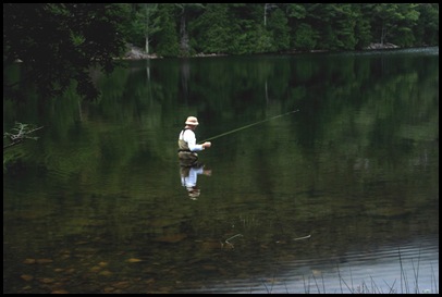
We start walking down the side of Bubbles Pond. It’s early in the morning and no one else is around. We see a lone fly fisherman in the pond and it so happens that he is standing directly opposite the sign that tells us to turn right at this point to begin the trail. We are all looking at him as he brings in a little fish. We walk right by the sign. About half a mile later Nancy says. “Stop. I need to look at the map. I don’t think we aren’t supposed to go this far on the shore”.
She’s right. We head back, find our error and start UP the mountain. But it’s a cool and very foggy morning so we just take our time.
Bill and Tricia are in the lead, I’m in the middle followed by David and Nancy. Up we go.
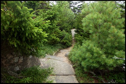
Pretty soon the rocky business starts.
Nearly every trail in Acadia is rocky. The question is what size are the rocks and how steep is the grade.
David contemplates his next move.
This is what he is contemplating.
But the views will be worth it. Right?
Well, not so much.
I guess we’ll just imagine being able to see the Bubbles from here. That would be South and North Bubble Mountains. Those are the two ummm humps you can see in all the Jordan Pond pictures.
Still fogged in, that’s OK, it’s 9:24 am and we can see well enough for a snack break
Wait, do I see Bubble pond? Look hard. There’s something down there.
I think I do.
Yup, That’s it!!
Just a nice window for a moment and then the fog returns and on we go.
Nancy and I try to get pictures of the bird in the tip top of the tree in front of us. He’s singing his heart out. I haven’t seen her picture but I’m betting it’s way better than my feeble attempt.
It is easier to focus on what is right at hand if the entire view full of mountains and water is fogged in.
David takes a shot of us with our imaginary views as the backdrop.
It’s about time for a little slight decline
before some more UP
As we reach the upper parts of the mountain, cairns point the way through the fog.
Fog or no fog, we make it to the top.
Still no view but we’ve all made it to the open granite summit of Pemedic Mountain, 1248 feet high. Don’t you Rocky Mountain people dare laugh.
We bask a while in our accomplishment. David strips off his pants legs while we all croon the stripper song.
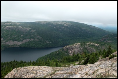
Low and behold, the fog lifts and we really can see Jordan Pond below us. It looks a lot bigger than it did on our early morning paddle the other day.
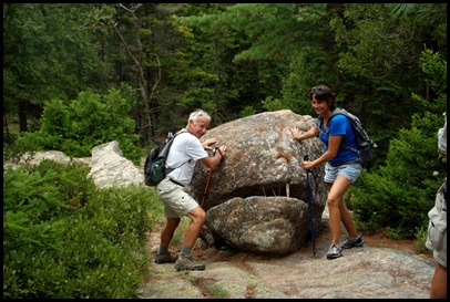
And there’s South Bubble rock and the Balance Rock about to fall off the edge. The rest of the group hiked there before we arrived. We plan to do it after they leave. Looks like fun. Wonder if we can push that rock off? It’s only been there for eons already.
We finally get a break.
The clouds are still above us but it’s clearing up for our views. Hazzah!
OK now which way down?
The South Ridge trail, right??
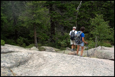
As we start our descent, again the cairns point the way over the granite rock face.
We discover and name Little Pemedic Pond.
I am really taken again with the gorgeous colors of the rock faces and their lichen.
Now this looks out of place.
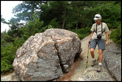
Did molten lava fill in the spaces here? Or what is that dark line of totally different rock? Perhaps part of the shatter zone? Very interesting looking. We need a ranger to accompany us or a geologist at the very least. Whatever it is, isn’t it cool?? It was all over up here.
We need to move some rocks out of our way. Bill and Tricia take care of it.
Nancy just goes around this one.
I find the footing going down mountains to be trickier than going up.
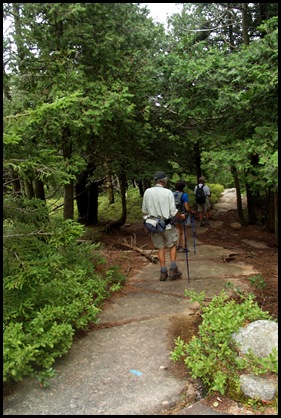
Notice that I keep moving back further in the line. Eventually I’m at the end. On the other hand, the two people most afraid of heights are leading the way. Good for them!
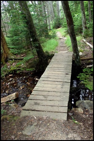
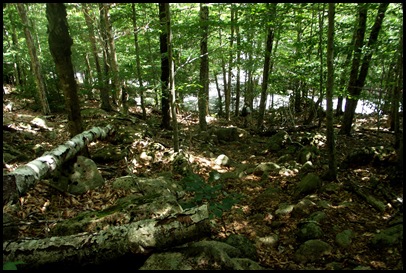
We make it down and pick up the Triad trail which takes us through a lovely wet woodsy area. A nice break from the rocks.
But of course the Triad has a summit so back up we go.
The trail builders have provided steps for this one. Very nice.
But how many???
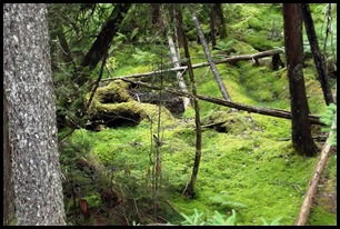
I just cannot get over how lush and green everything is. The forest floor is covered with moss.
This trail is covered not with rocks but with roots so watching your step is still very important.
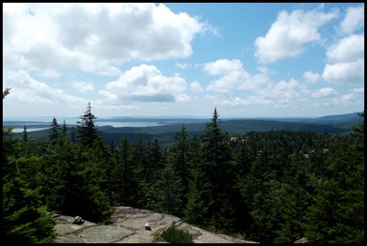
We reach the summit, 700 feet, The views are fabulous and so are the clouds. I can see the islands off shore.
Cairns again lead the way down.
The very last section is very tricky but soon we are at the carriage road and the end of the trail. Or the beginning if you are going up the South Ridge
Someone looks pretty happy and well he should. He’s leading his life just the way he wants to despite a serious setback in getting to Acadia last year.
We walk along the carriage road to the Wildwood Stables where we’ll catch the Island Explorer Bus back to the Bubble Pond parking lot.
Bill and Tricia are still in the lead. We see they are up to foolishness when we find Bill high up the side of the road in the drainage hole. I’m sorry I didn’t take this from a further distance to show how high up these two people afraid of heights climbed. They’ve definitely come a long way hiking in Acadia.
We reach the stables and everyone plops down on the bus bench.
I see some of the carriages and the horses and head off for a look and some pictures. Check out the feet on those Belgian draft horses.
Wildwood also provides stable and paddock space for rent and this little honey was working the tourists for apples and carrots with great success.
There are a variety of types of carriages and carriage rides you can sign up for. Gin and Syl took one up Cadillac Mountain for sunset. Great idea. Wonder which carriage they took
The bus arrives and though it is nearly full, we all get seats thank goodness. This is a really convenient way to do a longish hike without creating a loop or doubling back.
Thanks again to Nancy who planned the hike and Bill who drove us to and from the parking area. You guys are great! We had a wonderful time!!



















Whew, I'm glad I'm sitting down, your post made me tired! Glad you had such a great hike. Now time for some ice cream.
ReplyDeletehaaa don't think you croon the stripper song … you ba da da da … da da da it and move in a low circular motion… rats… it's after 10pm and I'll be da da da ing it
ReplyDelete1248 feet high? I would be beside myself if I could climb that especially on those rocks?
Well, I think your imaginary views are beautiful. gorgeous gorgeous place
What views you did get are fabulous. Besides, it's really all about the journey, right.
ReplyDeleteAnother great hike!! I am definitely having Acadia withdrawal;o((
ReplyDeleteAdd me to Acadia withdrawal ..... Sigh......
ReplyDeleteWow, what a great hike. That is definitely our kind of hike. I am glad that the fog cleared up somewhat for you. I know we have done our share of hikes in foggy conditions and never got the chance to see the great views but still enjoyed the hike. We love Acadia Nat'l Park and wish that we could have spent more time there. After seeing all these wonderful spots/hikes you have found we will definitely have to make our way back there some day. Thanks for showing us what a gorgeous place it is.
ReplyDeleteRuth
www.travelwithkevinandruth.com
wow. . .you guys are amazing.
ReplyDeletemy bum knee is having a spasm just reading about it. . .boo hoo!
beautiful views. . .glad the fog lifted for ya!
Looks like another great hike. And when it's all uphill, it really doesn't matter what elevation you start from!
ReplyDeleteWhat a hiking adventure! Despite the fog, you had a wonderful time. Great day, great fun with great people.
ReplyDeleteNice that the trail builders put in those steps. Imagine how hard it must have been to hike there, find the rocks and then drag them into place. Hopefully the rock steps don't wear out too soon... :cD
What a climb! I liked the mix of fog and views, moss and rocks. Way to go to Dad - you are triumphant! You should be proud :) Not surprised the scared of heights people were in the lead - they want to be down the mountain! I laughed aloud at the stripper song - I can totally imagine it. You guys have a great group in a great park - what fun :)
ReplyDeleteI agree with you- going down is always more tricky than going up.
ReplyDeleteBoy, you and David are having a great summer. I am very happy to read about your adventures and I enjoy everyone of your hikes…even the foggy ones.
ReplyDeleteAs great as your pictures are, they do not do justice to the beauty we beheld with our own eyes, so ya'll come see for yourselves. The camera just doesn't capture it, especially on distant shots. It seems they compromise to give a broader field of view which makes everything look further away than it is in real life. Thanks for preserving the memories of another great day!
ReplyDeleteI like the idea of these one way hikes with return service by shuttle. Sure does allow you to extend the hiking distance. The reward of having the clouds lift so you could enjoy the views made a great hike even better.
ReplyDeleteWhat a hike! I can't believe that rocky trail, but beautiful views and horses, too? This might be my favorite blog entry yet . . . or maybe not. They are all so good, I can't compare them. Thank you, Sherry!
ReplyDeleteY'all were "rock stars" on that hike. . . get it? (Oooo -- boo hiss!)
ReplyDeleteKudos to Bill and Trisha for powering through their fear of heights on that hike.